The Marquette National Weather Service on what to expect for the approaching storm system
MARQUETTE COUNTY — As you know, we got quite the snowstorm earlier this week. But if you think we’re in the clear now, you might want to take another look at the forecast for this weekend.
The Marquette National Weather Service says that a similar storm system is approaching. There will be a lot of moisture associated with the system, so the region will potentially be hit with a lot of snow.
Meteorologist Joseph Phillips says that snowfall amounts are uncertain at this point however, one reason being the possibility of dry air filtering in from Canada.
“Right now the snow totals vary, and as we get closer to the event we’ll definitely be fine–tuning our forecast,” said Phillips. “A lot of the models are picking up on potentially six to ten inches across the area, but if the dry air from the north does filter into our area, we’re going to see lower snow totals. And if the low actually tracks a little bit more toward the north, we could also see some freezing rain and some sleet mixing in with some of this. So, again there is potential for some lower snow totals as well in the southern counties.”
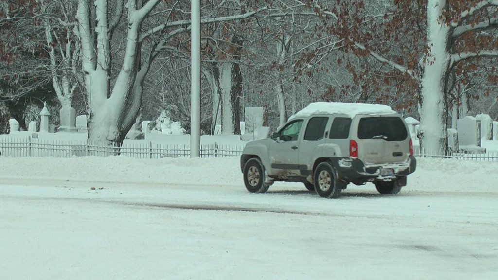
Phillips says with that freezing rain and sleet, conditions will be dangerous on the roads.
“Like the last system, the snow’s going to be a wet, heavier, dense type of snow, which makes for hazardous driving,” said Phillips. “When that happens, you tend to have a harder time gripping the road with your tires. So with wet, heavier, dense snow, you tend to see harder and more dangerous driving conditions.”
Due to hazardous conditions, drivers are encouraged to stay off the roads unless driving is necessary. Travel conditions are subject to change depending on the weather forecast.
To stay up–to–date on the latest information on the coming storm system, keep an eye on the Marquette National Weather Service’s Facebook page.